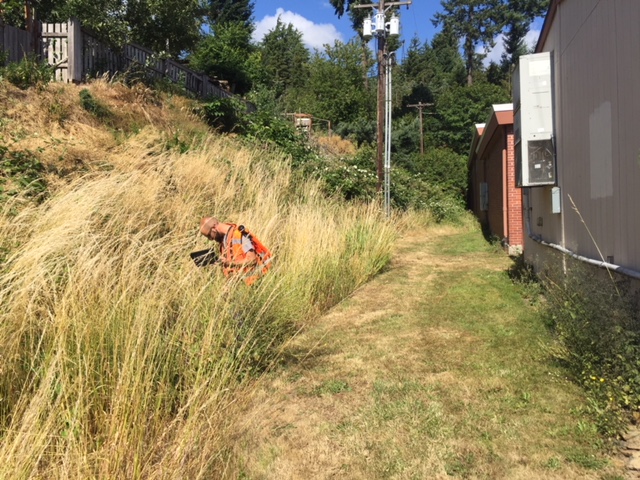
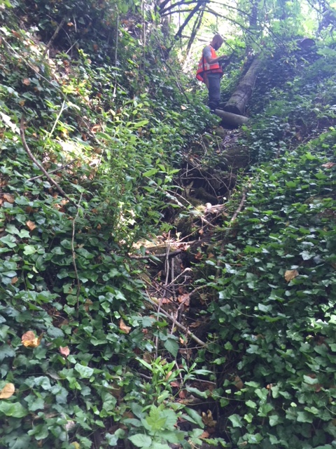
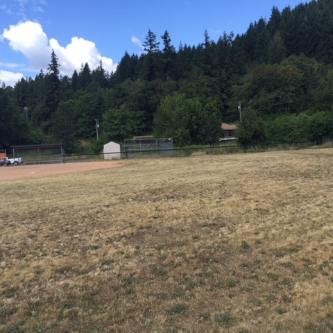
ELS was contracted by the Kalama School District in 2018 to determine the extent of jurisdictional wetlands and waters within a school expansion area, north and south of their existing school complex. ELS delineated one wetland, one stream, and mapped several non-jurisdictional ditches. A determination report was written and included methods, field results, map of the wetland and stream and their buffers, and wetland category and stream type. ELS also looked for any other potential habitat, including Oregon white oak. Functionally isolated buffers next to streams and wetlands, for example existing developed areas like streets and parking lots, were also mapped and described. ELS staff met with school officials at an early stage to understand the scope of the project and to determine the project area. ELS continues to be available during the school expansion process to assist with any mitigation necessary to aid in development of the project.
In addition to the critical areas mapping, ELS was contracted to provide compliance with the State Environmental Policy Act (SEPA) and prepared a SEPA application for agency review. Completion of the application included background research of available environmental information, coordination with the Kalama School District to facilitate completion of the checklist, completion of the SEPA checklist form and figure set per local government standards, and final coordination and revisions following agency review of submitted document.